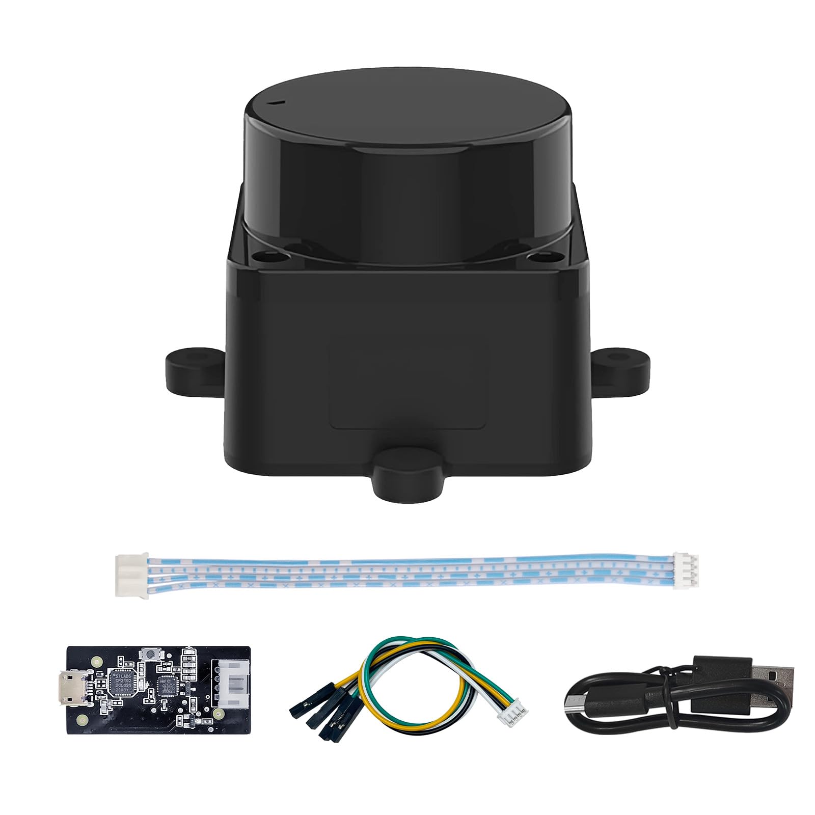
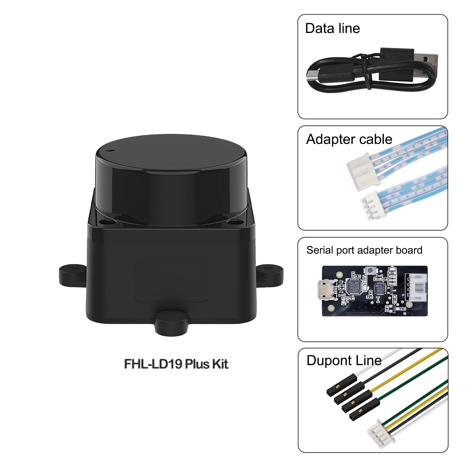

WayPonDEV FHL-LD19 Plus 2D Lidar Sensor, 25m (80ft) 360° Ranging Module Kit, SLAM ROS LiDAR Sensor Scanner for Robots Drone Navigation Obstacle Avoidance, with Raspberry ROS/ROS2/C++ SDK Tutorial
Product Specification
Marke: WayPonDEV
Anzahl der Artikel: 1
Hersteller: youyeetoo
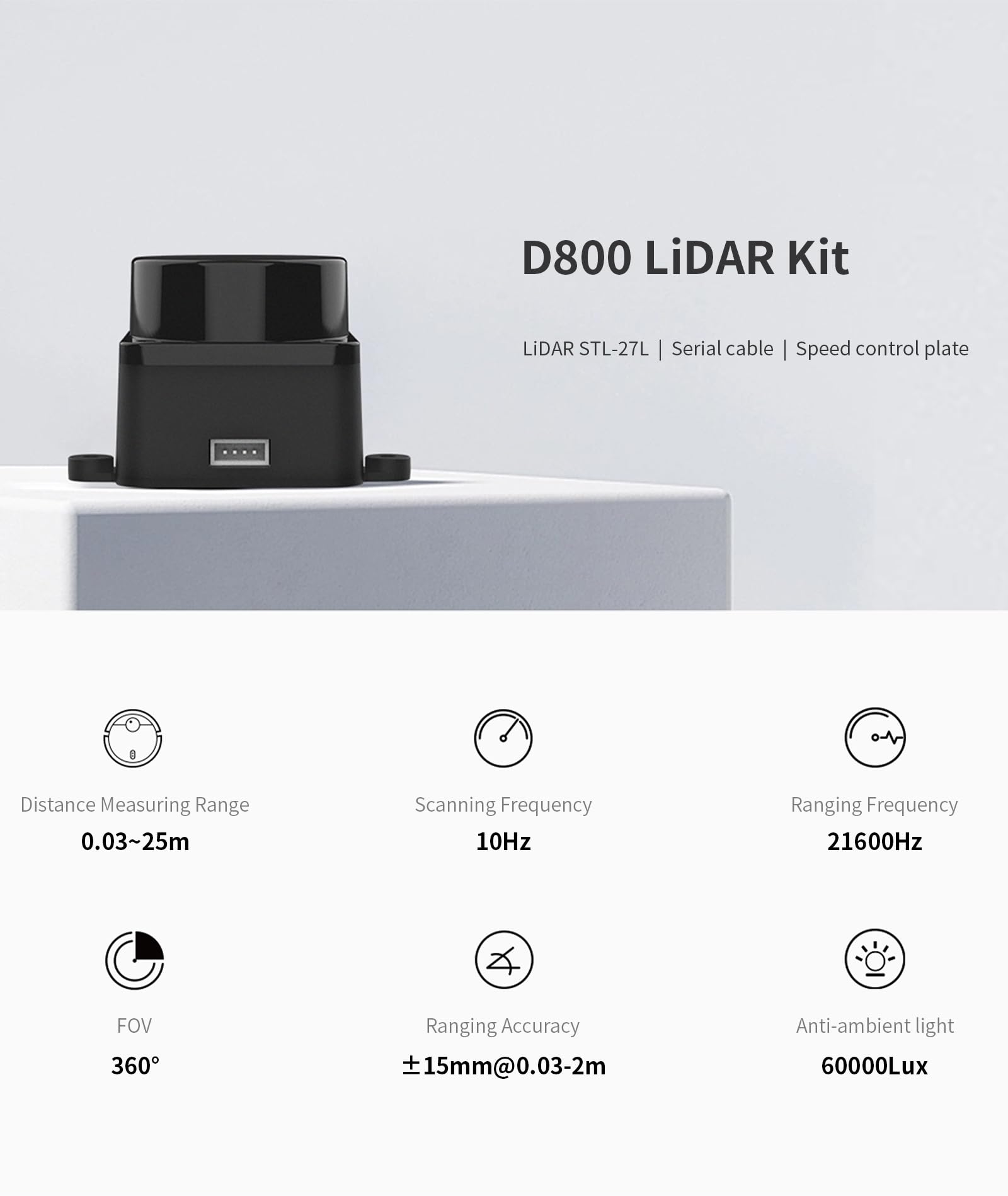
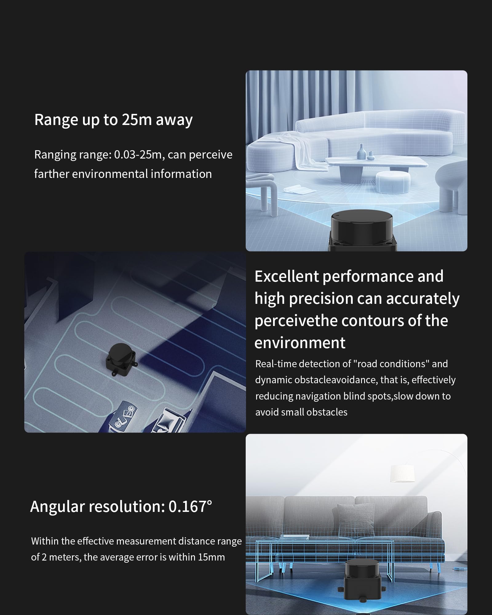
- [High Accuracy] DTOF FHL-LD19 Plus Lidar Sensor Kit, based on DTOF STL-27L lidar module, which has a sampling rate of 21600 times/s. In addition, The lidar ranging distance can reach up to 25 meters Based on white objects with 80% reflectivity,so it can collect environmental information and data at a rather high speed and accuracy, ensure a real-time performance.
- [360 Degree 2D Scanning] The ranging core of DTOF FHL-LD19 Plus lidar sensor rotates clockwise, performs 360 degree 2D omnidirectional lidar range scan on the surrounding environment, and generates an outline map. configurable scan rate from 6~13Hz, Typical 10Hz, and is waterproof to IPX5, with UART Port.
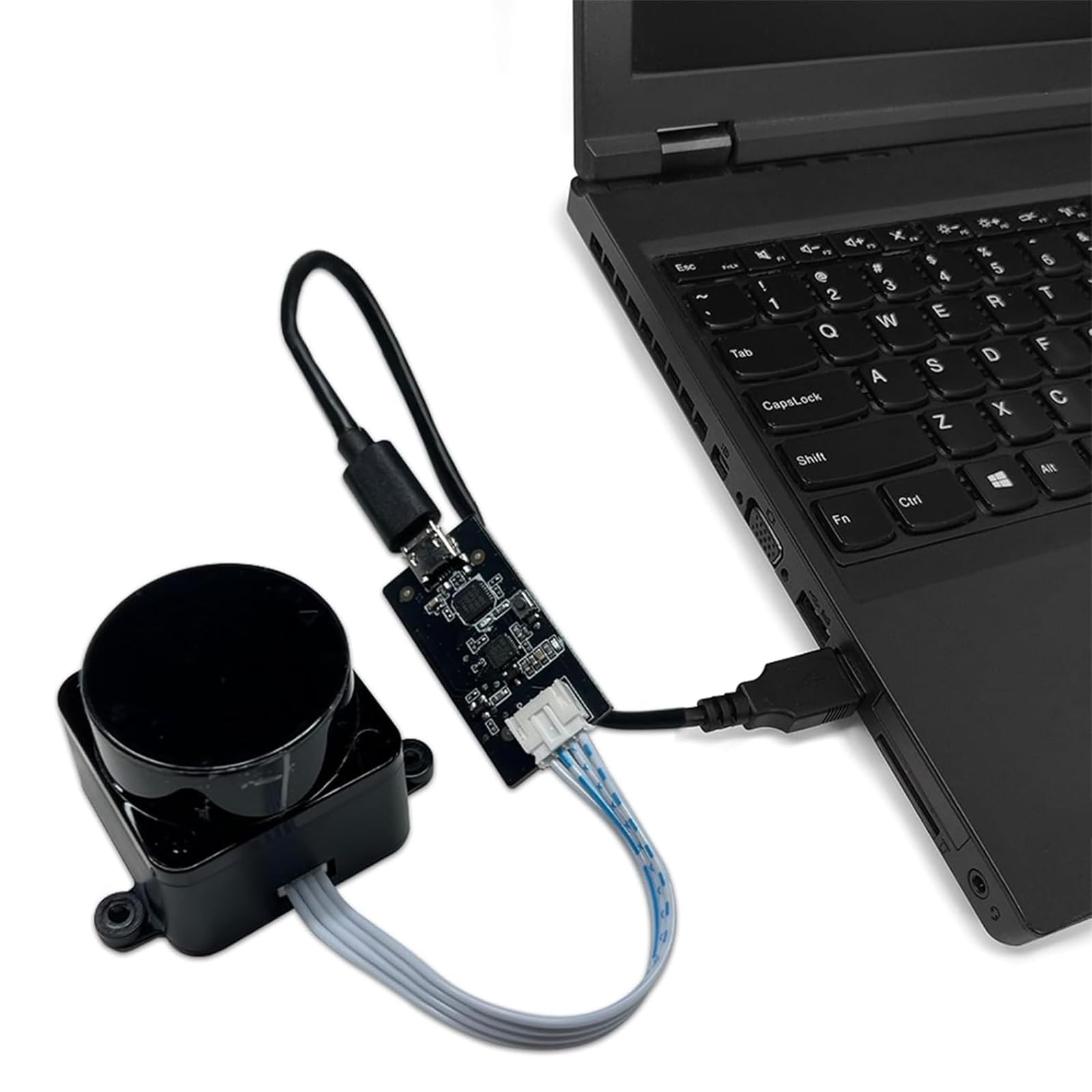
- [Plug and Play] With the 3 feature: Build-in Serial Port and USB Interface, Open Source SDK and Tools and Integration with ROS, Just connecting the DTOF FHL-LD19 Plus and a computer via a micro USB cable, users can use the DTOF FHL-LD19 Plus without any coding job. DTOF technology, which repairs electrical connection errors due to physical wear and prolong the life-span.
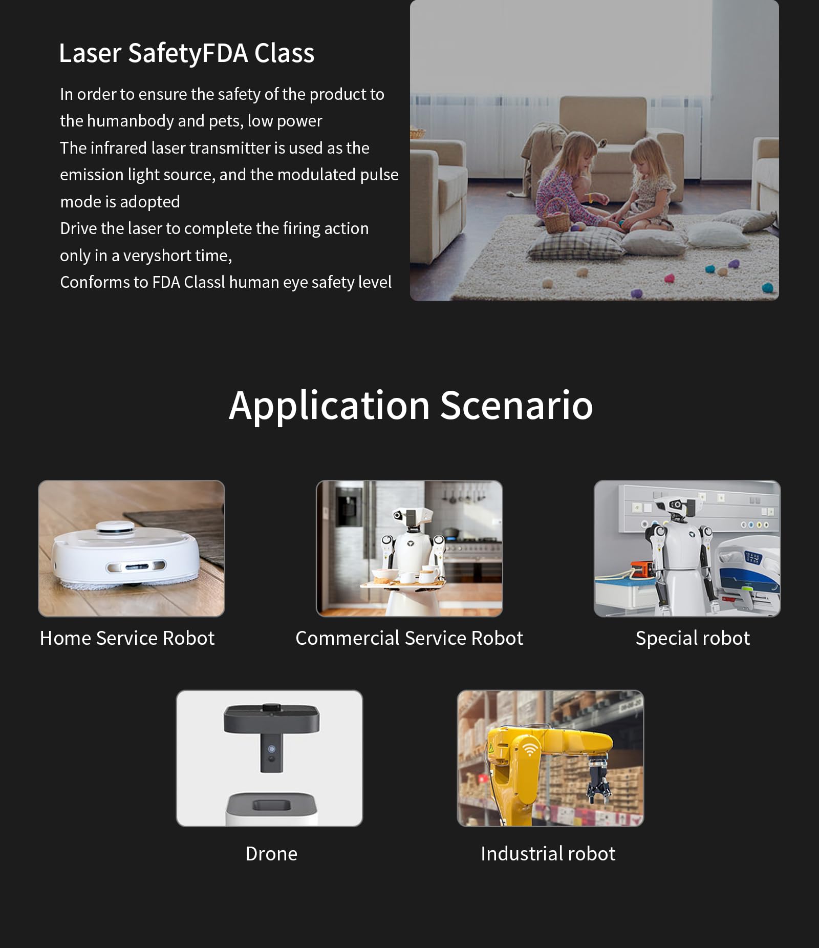
- [Widely Application] FHL-LD19 Plus Lidar provide ROS/ROS2/C/C++ SDK and a tutorial for raspberry sbc, It can be easily integrated into a robot or drone. It can be used for home service/cleaning robot navigation and localization, general robot navigation and localization, smart toy’s localization and obstacle avoidance, environment scanning and 3D re-modeling, General simultaneous localization and mapping (SLAM), etc.
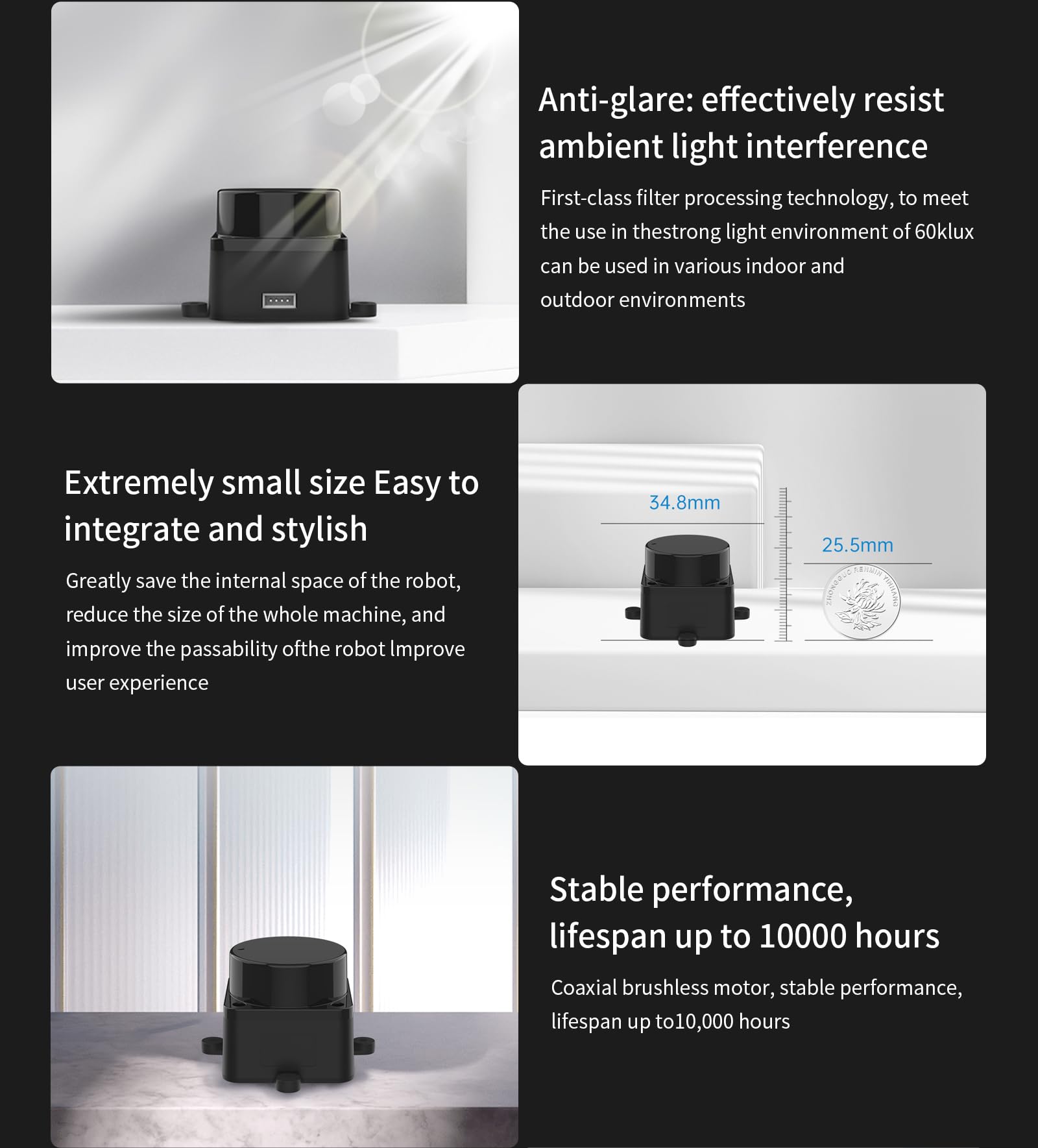
- [Walnut Size] FHL-LD19 Plus lidar sensor scanner only 54*46*35mm size , less than 50g weight ,Lightweight and compact, can be built into the machine. Complete 360-degree silent scanning with up to 10,000 lifespans using a brushless motor. 30K lux resistant. It is able to achieve high frequency and high precision distance measurement and accurate map building indoors and outdoors.